


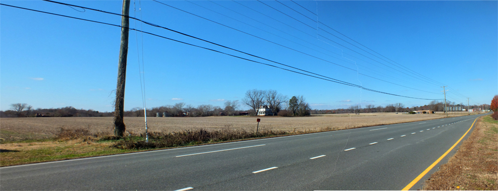
When the Taylor family bought a farm near Anderson’s Corner in 1951, there were about 6,300 people living in James City County.
That figure has mushroomed to about 70,000 in the ensuing decades, giving way to heavy development in the southern and eastern sections of the county, where much of the developable land has been used. And now, according to the family, it is time to change the character of their farmland to one more compatible with development in much of the rest of the county.
“There’s nobody farming,” Randy Taylor, whose grandparents originally purchased the 217-acre property, said at a James City County Planning Commission working group meeting last week. “We’re not in the farming business anymore. We lease it out to people from out of town.”
Taylor said all of the members of his family who were farmers have died, and the remaining children have pursued other careers. He said that trend is present among many of the farmers in the area.
Because of the occupational shift, the Taylors have applied to have their land’s designation changed to mixed use. The land currently has a hodgepodge of designations: mixed use along Richmond Road, low-density residential behind that section and then rural lands for the remaining two-thirds of the property.
If approved, the change to a mixed-use designation would show the land as a suitable location for development of intensive commercial and office uses along with limited industrial uses, according to the county’s description of the designation. A change in designation does not signify imminent development but rather that the land is a suitable place for future construction.
Their land is situated on the southwest side of Anderson’s Corner, across Richmond Road from the southern-most portion of the White Hall development. While much of the land to the north, east and south has been developed, the land to its west remains largely rural.
Along with the designation change, the application also seeks to have the county’s Primary Service Area — which currently contains about 45 acres of the property — extended to contain it all. The PSA is a tool used by the county to control growth. Properties within the PSA are eligible to receive public services like water and sewer, while those outside use devices like wells and septic systems.
Land designations — which spell out potential future uses for land — are part of the county’s comprehensive plan, a guiding document outlining development in James City County in the future. Changes in land-use designation are being considered as part of the update to the plan now under consideration.
Staff members from the James City County Planning Division who have analyzed the request to change the designation do not support the change to mixed use. A memorandum to the working group explains there are already “considerable vacant properties” in the area designated for mixed use development, especially in the Stonehouse development, Toano and along Barhamsville Road.
They also oppose the change because the property is one of about 30 left in the county identified as viable for large-scale farming, meaning there are more than 50 acres of prime soil.
Instead, the planners recommend a new designation for the land, called rural economy support. That designation would act as a buffer between the heavier development already present in the county and the rural sections along its western edges. Examples of ways to use that land include wineries, restaurants, limited food and beverage processing, farming storage or distribution and equestrian development.
The planners do recommend extending the boundaries of the PSA to encapsulate the entire property. The memorandum notes the best soil for farming is closer to Richmond Road, while the land more suitable for the type of development described by the rural economy support designation is farther away from the road and outside the PSA.
A similar request to change the designation was denied in 2009.
A similar request to change the designation of longtime farmland near Interstate 64 to allow for future development is also being considered as part of the comprehensive plan update.
The designation change request is being considered as part of the comprehensive plan update. The planning commission working group will continue its analysis of the draft of the update into next year before handing the draft to the board of supervisors, which will review it during 2015.
