


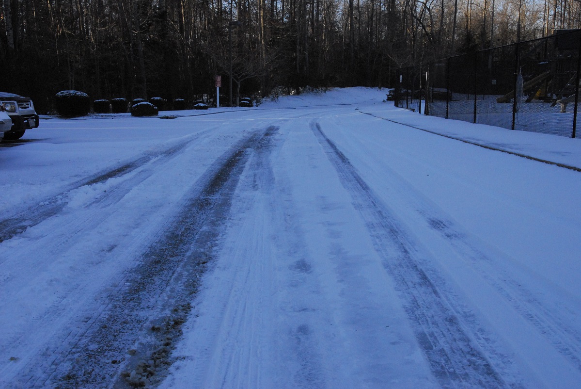
Update 4:16 p.m. A winter storm warning has been issued for all three Historic Triangle localities from 1 p.m. Tuesday to 1 p.m. Wednesday. During that time period, three to five inches of snow are expected to fall on James City County and Williamsburg. York County is now forecasted to receive four to six inches of snow. Travel conditions are expected to rapidly deteriorate on Tuesday night, according to the National Weather Service.
—–
Original Post: A wintry storm will bring snow and frigid temperatures to the Historic Triangle beginning late morning Tuesday.
As of Monday afternoon, the storm is projected to dump about 2 inches of snow on York County, around 1 inch on Williamsburg and half an inch to an inch on James City County. The snow will begin to fall late morning Tuesday, with the heaviest snowfall coming Tuesday night. It will stop falling by Wednesday morning, said Bridget De Rosa, a meteorologist for the National Weather Service.
York County is under a winter storm watch from 4 p.m. Tuesday through 4 p.m. Wednesday.
The snow is the result of an arctic air mass that will move into the area Monday night. The front moving across the area during the day Monday will stall along the coast of the Carolinas tonight, causing an area of low pressure to form. The interaction of the low pressure and the arctic air will cause the snowfall.
The snowfall totals could change, depending on how far away from the coast the low pressure area develops.
Historic Triangle residents can expect highs in the 20s on Tuesday and Wednesday. The high will move into the upper 30s on Thursday, the upper 40s on Friday and the low 50s on Saturday and Sunday.
The storm comes about one week after the last winter storm, which resulted in school closures across the Historic Triangle. No school closures have been announced as of 2 p.m. Monday.
