


Update: The National Weather Service Wakefield has upgraded the winter storm watch to a winter storm warning and is calling for heavy snow from 7 p.m. Monday to noon Tuesday.
Meteorologists are predicting snow before 1 a.m., then a mix of snow and sleet between 1 a.m. and 4 a.m. before changing back to snow after 4 a.m..
Five to 9 inches of snow is possible according to the latest weather report, with Monday night’s low around 20 degrees.
————
Original: A winter storm watch has been issued in the Historic Triangle from Monday evening through Tuesday morning.
Heavy snow is expected in the Peninsula with possible sleet mixed into the snow starting early Monday night.
Meteorologists from the National Weather Service in Wakefield are predicting 4 to 8 inches of snow in the Williamsburg area starting early Monday evening before 7 p.m., with another inch of snow possible overnight before tapering off Tuesday morning before noon.
NWS is predicting a high near 23 degrees Monday, with the wind chill making it feel about -1 degree.
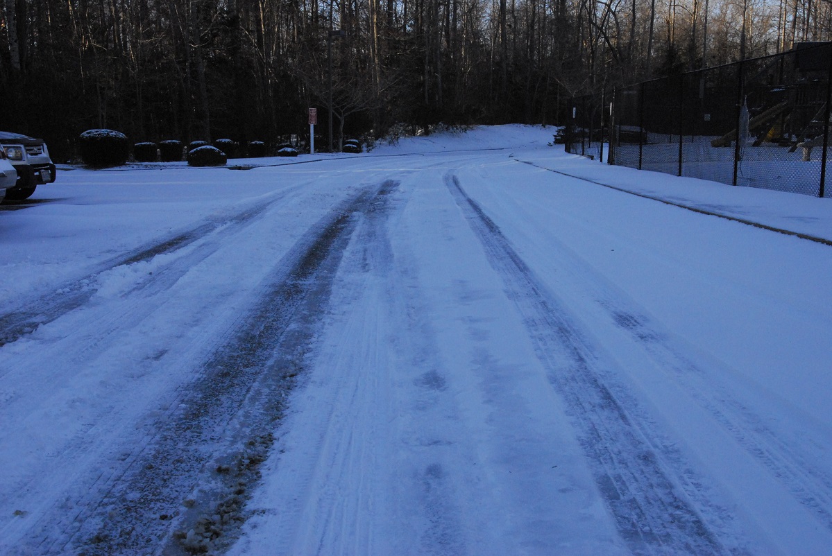
Drivers are asked to be cautious on the snow-covered roads that may also freeze when temperatures drop to the low 20s.
Crews from the Virginia Department of Transportation worked Sunday afternoon to prepare major roadways for the winter storm, treating the interstates and highways with brine to prevent icing.
VDOT workers will be on standby Monday to respond to changing road conditions and to work with utility companies to address downed trees or power lines.
