
UPDATE 1 P.M.: The National Weather Service has extended a tornado watch to 4 p.m. Thursday for the Williamsburg, James City County and York County area.
UPDATE: A tornado watch is in effect until 1 p.m. Thursday for Williamsburg, James City and York counties and surrounding vicinity according to the National Weather Service in Wakefield, Va. Biggest threat for tornado will be between 10 a.m. and noon.
Batten down the hatches.
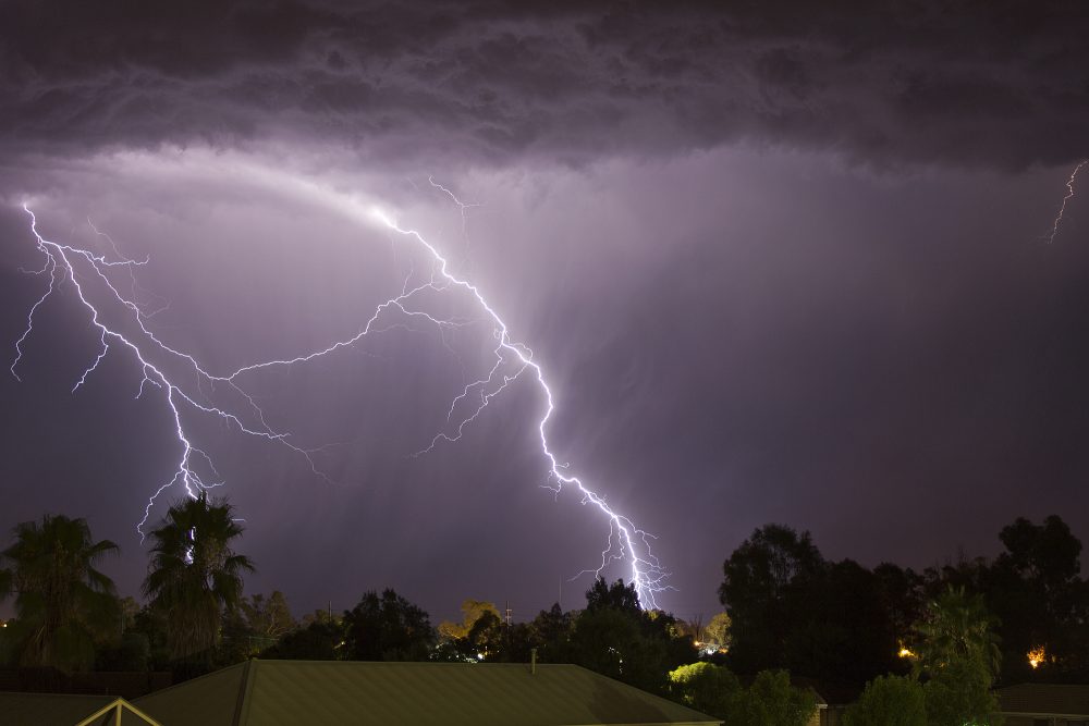
The Historic Triangle could see golf ball sized hail, heavy thunderstorms and even tornadoes Thursday morning, according to the National Weather Service.
In an alert issued Wednesday morning, the National Weather Service in Wakefield, Va. predicted “hazardous weather” with damaging winds, large hail, and the possibility of isolated tornadoes throughout southeastern Virginia.
The main line of strong storms is predicted to pass through the Historic Triangle between 5 a.m. and 10 a.m. Thursday, according Wakefield-based meteorologist Mike Montefusco.
“All manner of severe weather is on the table for this line of storms,” he said.
This includes damaging winds, with speeds in excess of 60 to 70 mph, powerful thunderstorms with quarter to golf ball sized hail and tornadoes.
“Something to bear in mind is folks need to be sure they have a means of getting weather warnings,” Montefusco said. “This storm could come through late at night, while you are sleeping, and you need to be able to get alerts.”
Severe weather updates are available via weather.gov/wakefield, NOAA Weather Radio and social media, such as the Facebook page for the National Weather Service in Wakefield. Weather alerts are also available on most smart phones, Montefusco said.