
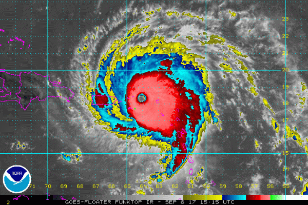
While Hurricane Irma is slamming the Caribbean, meteorologists across the southern and eastern seaboard are analyzing its movement to predict where it might make landfall next.
The National Oceanic and Atmospheric Administration is currently predicting the storm will take a turn northward up the Florida coast, however the category five hurricane is too far out for NOAA to predict the magnitude of the storm.
Meteorologists with the National Weather Service are saying the outer rim of the storm could edge into Southeastern Virginia between Monday and Tuesday of next week.
“I would think some rain late Monday afternoon into Tuesday,” said Mike Rusnak, a meteorologist at the National Weather Service in Wakefield, Va.
The storm might turn inland near Charleston, S.C. as it progresses north, according to Rusnak.
“Just be prepared for any kind of change in the track over the next couple of days,” Rusnak said. “I would not panic at this time.”

The National Oceanic and Atmospheric Administration released a message about the storm’s predicted northward turn.
“Direct impacts from wind, storm surge, and rainfall are possible in the Florida Keys and portions of the Florida Peninsula beginning later this week and this weekend,” the message said. “However, given the forecast uncertainty at these time ranges, it is too soon to specify the location and magnitude of these impacts.”
For tips on preparing for a serious storm click here.
Have you got weather predictions? Send them to [email protected].